Aerial Data
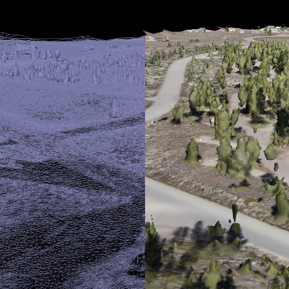
Polygonal shapes of 3D objects and terrain. Available in wireframe, colored, or textured variants.

A digital surface model that captures natural and man-made structures on Earth's surface. Can be converted to DEM (elevation) or DTM (terrain), both of which focus on the surface without structures.
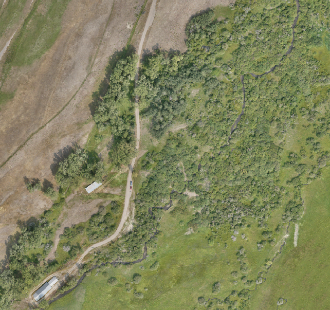
A large, high-resolution image created by combining detailed orthophotos. The detail and quality allows for accurate measurement of size and distance.

A digital flight through a point cloud or mesh. The benefit of a digital flythrough is reduced cost of repeat flights and customized flight angles.
Ground Data
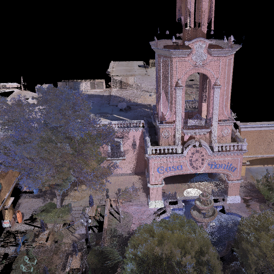
Terrestrial laser scanning with LIDAR technology provides highly accurate and dense point clouds.
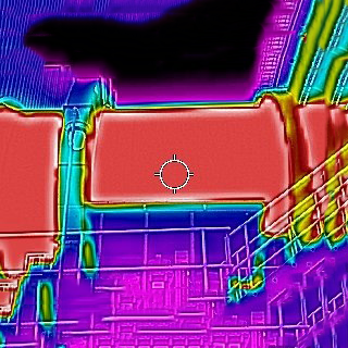
Infrared technology that detects heat emissions to generate spatial heat maps of objects or terrain. Thermal imagery used primarily for man-made structures.
